eXtensions - Wednesday 20 May 2026
By Graham K. Rogers
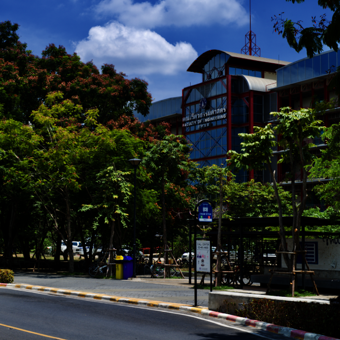
Each year, Senior Year students from the Faculty of Engineering at Mahidol University develop a capstone project. Using software originally developed for the US Army Corps of Engineers, students from the Department of Civil & Environmental Engineering simulated scenarios for an irrigation canal in the north of Thailand to improve control of the water supply for agriculture.
Each year, the Faculty of Engineering holds an event to publicize the senior year capstone projects. Hundreds of visitors from other universities, from high schools, and from industry attend the event. With some text as well as relevant diagrams and images, information on the whole project is condensed onto a single AO (84.1 x 118.9 cms) sheet. This year there was work from some 94 groups.
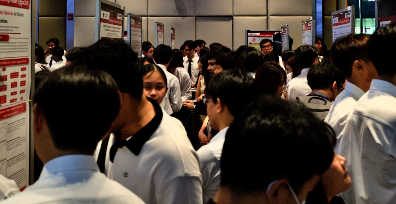
In my walk around the crowded event I am often attracted by certain ideas, not necessarily the winning projects. One of those that I looked at this year was a project that used simulation to determine the best way to optimize the design of irrigation canals in the Mae Kuang Operation and Maintenance Project. The source of the Mae Kuang river is in Mae Takhrai National Park, northeast of Chiang Mai. It enters the reservoir of the Mae Kuang Udom Thara dam just north of Doi Saket. Output from the dam feeds the Kuang River, and the Mae Kuang Irrigation Canal which provides water for agriculture in the area.
At this time of year, as the rainy season develops, some canals and rivers are overwhelmed. At other times when rainfall is low or non-existent, there is drought, and water for agricultural purposes needs to be used sparingly. The students - Dechapon Ruangwiset, Mathat Numgrod, and Natthanan Kruthsaeng - recognized the value of improving water management and sustainable water use. Their project advisor was Dr. Areeya Rittima.



Engineers no longer use slide rules, and even the calculator is used less as computerized tools and AI are now available. While the Civil Engineering students still learn about concrete mixes, stress and strain, they are now also becoming familiar with simulation software, such as GIS, SolidWorks, and AutoDesk. For this project they selected three scenarios:
The canal in the project is 1.438 km long and divided into 3 sections. The views show how the canal's geometry and water surface profile change along the alignment. The simulations were used to confirm that the water levels in the group's canal designs would not overflow the banks: the design is functional and safe for real-world use.
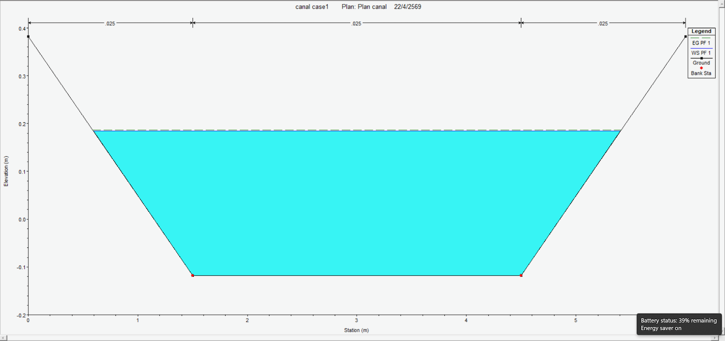
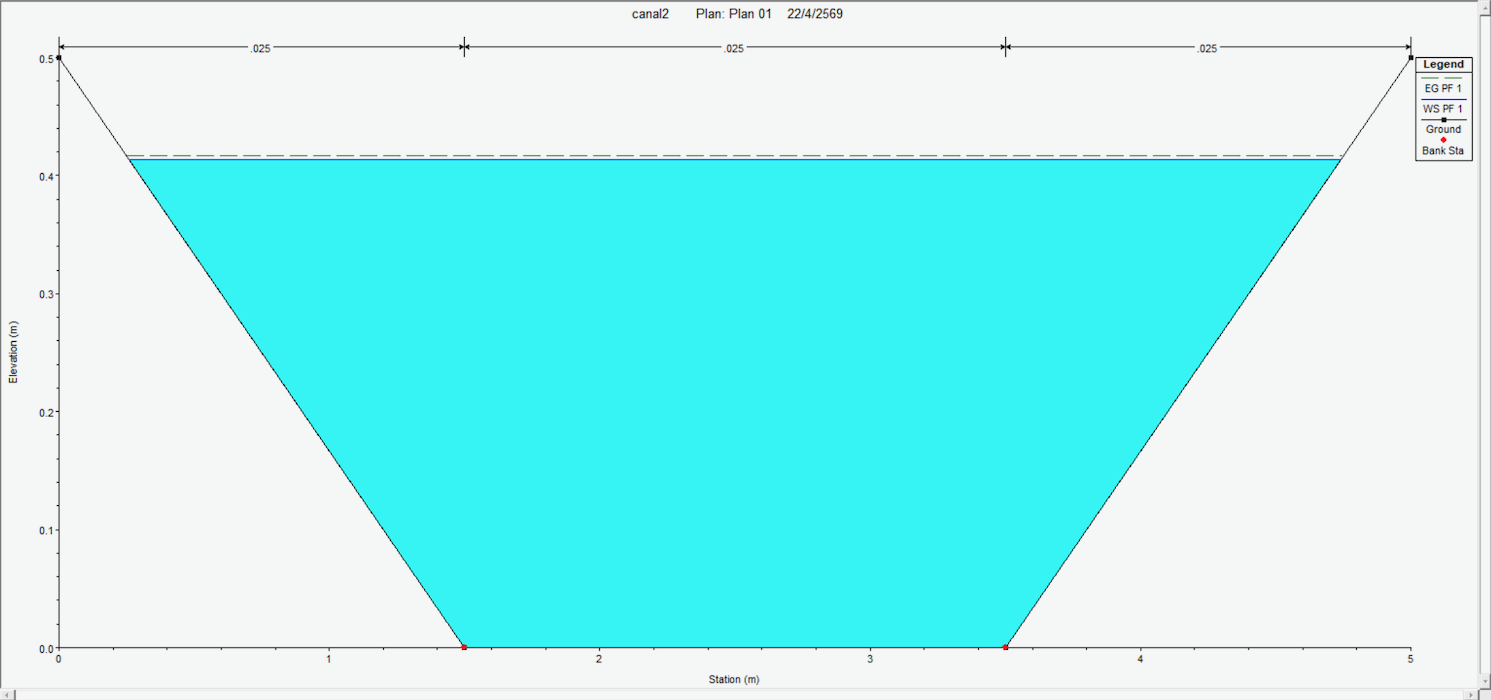
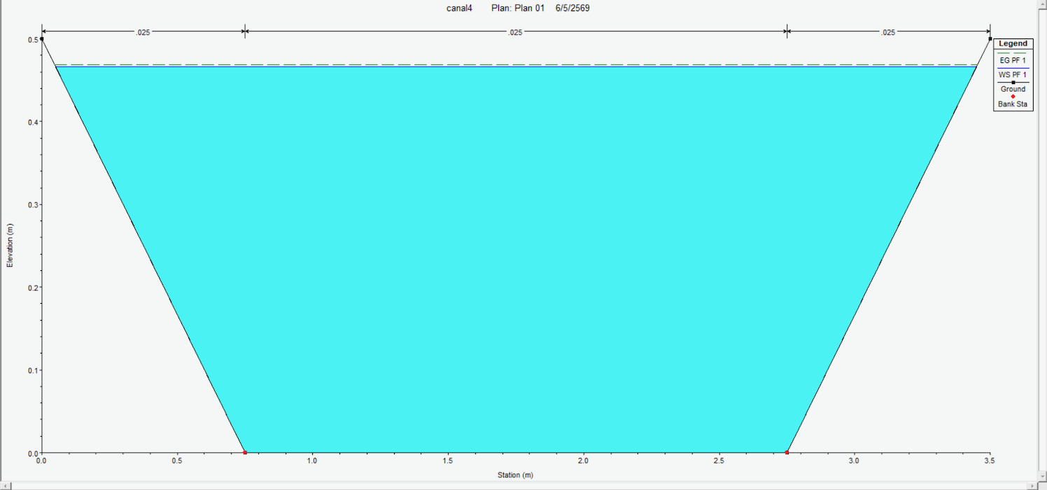
Calculations of the three scenarios were carried out to determine optimal flow capacity and cross-sectional dimensions, ensuring efficient water conveyance, minimizing hydraulic losses, allowing for specific features of the area and limitations of design. The group used HEC-RAS software which was specifically developed for hydraulic engineering by the US Army Corps of Engineers. It enabled the students to carry out simulations of the three scenarios along the designed canal.
The results of the simulation showed that Scenario 3 was the most efficient. By optimizing the width and depth of the canal sections depending on specific requirements, costs are reduced while any impact on agricultural land or private property is minimized. The group also found that Scenario 2, with its uniform width and depth, leads to unnecessary excavation costs downstream. Scenario 2 also results in an avoidable loss of agricultural land.
With the flooding that often ensues from excess rainfall some years, it is valuable for Civil Engineering students from Mahidol University to understand how the excess flows and the shortages at other times of the year may be managed more effectively.

Graham K. Rogers teaches at the Faculty of Engineering, Mahidol University in Thailand. He wrote in the Bangkok Post, Database supplement on IT subjects. For the last seven years of Database he wrote a column on Apple and Macs. After 3 years writing a column in the Life supplement, he is now no longer associated with the Bangkok Post. He can be followed on X (@extensions_th). The RSS feed for the articles is http://www.extensions.in.th/ext_link.xml - copy and paste into your feed reader. No AI was used in writing this item.

For further information, e-mail to
Back to eXtensions
Back to Home Page